Specifications and Main Features
- Model: Magellan GPS SkyNav 5000 receiver
- Type: GPS 5-channel receiver
- Display: UltraView™ vacuum fluorescent display of 40 characters
- Database: Globally built-in with Jeppesen Disk database.
- User-defined Waypoints: Total Number User Defined wpt’s – 1000 Maximum
- Flight Plans: Maximum of 20 flight Plans, each up to 20 Legs maximum
- User Interface: 9 pushbuttons and 2 knobs providing a means of data entry and navigation.
- Altitude Input: Given by the user, a fixed altitude or data from an encoder/serializer.
- Database Update Frequency: 28 day periodicity.
- Memory Retention: Internally retained by an internal battery
- Accessories: Additional database cards and encoding/serializer available
- Dimensions: Dimensions that enable compact and panel mounted design.
- Operating Power: Power source of electrical systems of the aircraft.
- Weight: Regular [insert here weight if available]
- Software Version: 3.5 or late version will also do
- Safety Features: Safety features Composure flash command after an accuracy warning alert is issued.
- Annunciator Lights: Eight LEDs showing the current mode and message status.
Frequently Asked Questions
Q: How do I switch on the Magellan GPS SkyNav 5000?
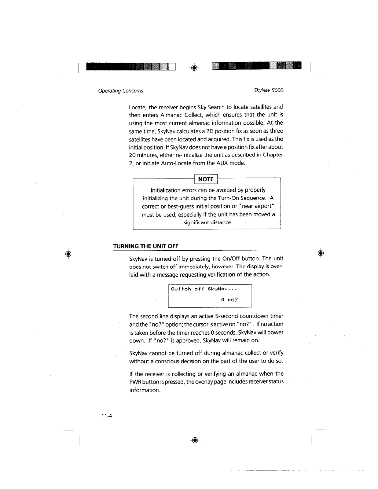
A: For the SkyNav 5000, PWR button is pressed to switch the equipment on.
Q: Is there a need for the device to be updated?
A: Yes, there is an importance that the database is updated every 28 days, as aviation related information is affected.
Q: To what extent can I customize my user waypoints?
A: You can customize up to 1000 waypoints according to your own needs.
Q: At what level does the built-in versatile data base stand? Think of waypoints that have some characteristics.
A: The built-in database incorporates coordinates of verzar slated airports with runwway length in excess of a 1000 feet VOR’s and NDBs.
Q: In terms of Possitioning accuracy how good is SkyNav 5000?
A: Position fix accuracy is degree of variality depending on satellite geometry which caution should be exercised in displaying accuracy warnings.
Q: Is itamanagedand planned at the same time by this device?
A: Yes, you are allowed to create, delete, edit and activate maximum of twenty plans out of which each of them can have twenty legs.
Q: Could you tell us what would happen if the internal battery runs down?
A: If the internally installed battery goes down, the device will not retain the user's information entered into memory when turned off.
Q: To your knowledge is there an able way of getting a data base that is still active?
A: Yes, you will need to reach your Magellan dealer or installer in order to update the content of the database.
Q: Is there a requirement in altering altitude in which case entered data is accepted or agreed upon?
A: Yes, a fixed value determined by the user can be entered and the machine will display that valued With respect to height above sea level.
User Manual










 Loading...