


Trimble GNSS Surveying Systems:
The satellite surveying power you need today...and tomorrow.
GNSS SYSTEMS
Trimble has pioneered signifi cant advancements in the fi eld of GNSS surveying. Surveyors using Trimble systems were the
TRIMBLE’s COnnECTED sITE MODEL
With the Connected Site, Trimble work solutions handle the “back end” so
you can focus on the business elements most important to you—the work
you do best. Building a Connected Site with Trimble enables your business
to incorporate seamless workflows—reducing rework and maximizing
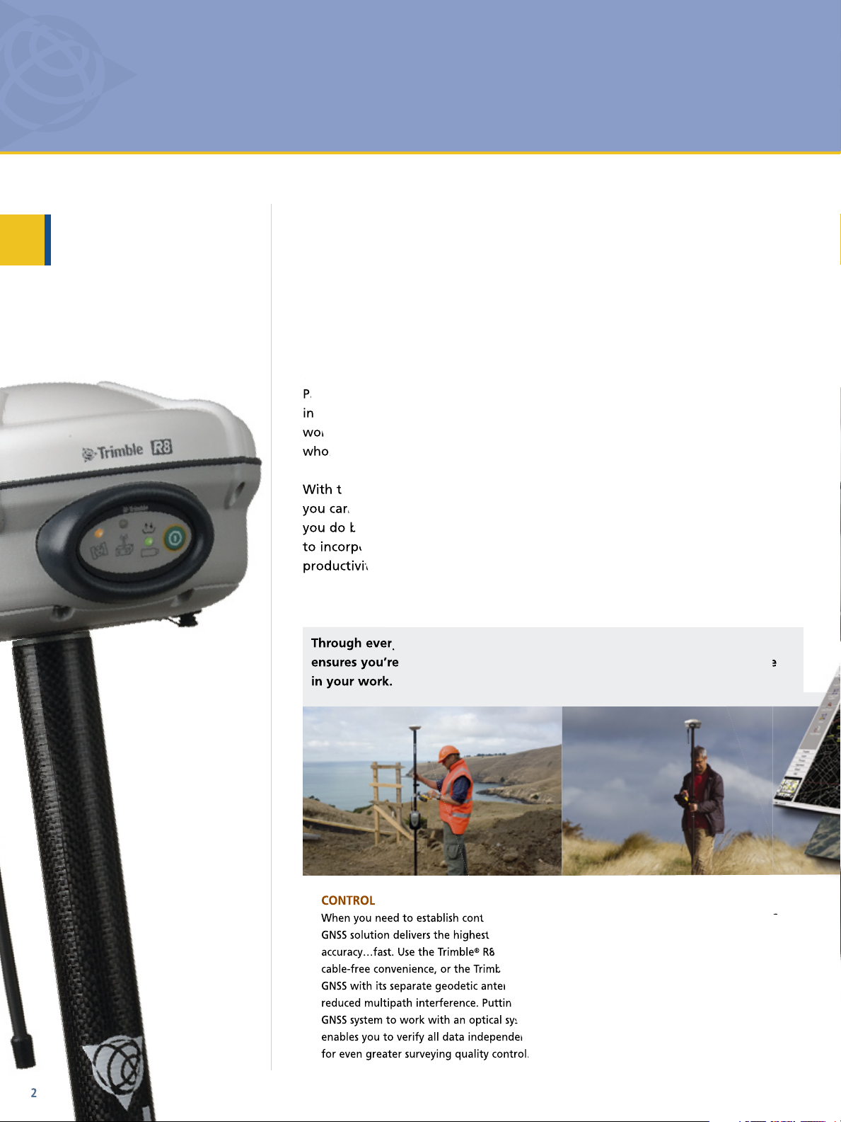
When you need to establish control, a Trimble
R8 GNSS for
Through every stage of your surveying project, a Trimble GNSS system
fi rst to access static and kinematic postprocessed surveying. Now, with advancements in GPS Modernization, GLONASS and
Galileo, surveyors everywhere can count on Trimble to continue providing superior GNSS solutions.
TRIMBLE® Gnss sOLUTIOn
Trimble innovation in GNSS surveying provides the most
advanced receiver technology in the industry, and the most
complete surveying solutions. Our workflows unify hardware
and software systems that empower surveyors and project
managers to achieve more.
TRIMBLE’s COnnECTED sITE MODEL
Partnering with Trimble places the right tools and techniques at your fingertips
in the field and office. Trimble surveying systems seamlessly integrate via shared
workflows and technologies, making your everyday job site a place where the
whole is greater than the sum of its parts; this is Trimble's Connected Site model.
With the Connected Site, Trimble work solutions handle the “back end” so
you can focus on the business elements most important to you—the work
you do best. Building a Connected Site with Trimble enables your business
to incorporate seamless workflows—reducing rework and maximizing
productivity to help elevate your business to the next level.
Through every stage of your surveying project, a Trimble GNSS system
ensures you’re working at optimal efficiency and with the utmost confidence
in your work.
CONTROL
When you need to establish control, a Trimble
GNSS solution delivers the highest possible
accuracy…fast. Use the Trimble® R8 GNSS for
cable-free convenience, or the Trimble® R7
GNSS with its separate geodetic antenna for
reduced multipath interference. Putting your
GNSS system to work with an optical system
enables you to verify all data independently
for even greater surveying quality control.
2
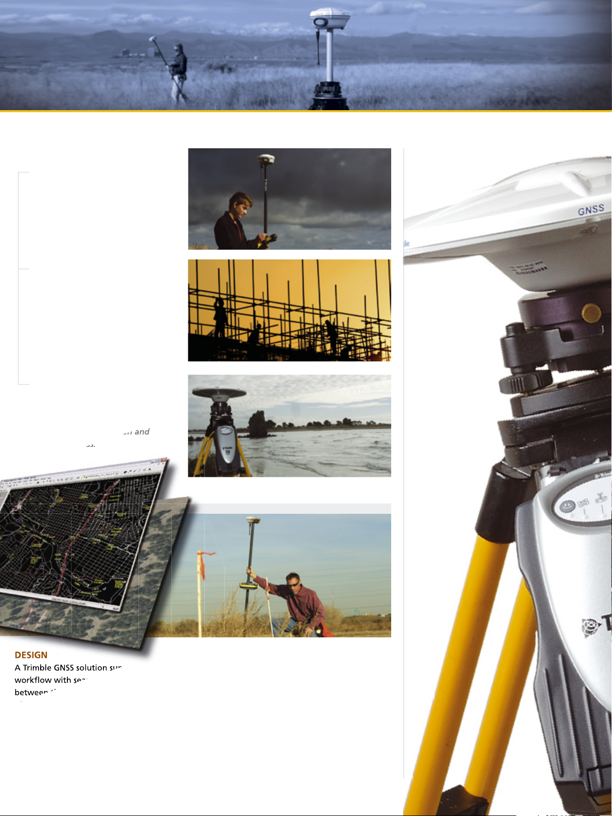
TOPOGRAPHIC
For topographic work, Trimble GNSS
systems are unrivalled for field
performance. Lightweight, cable-free and
rugged, they’ll go almost anywhere you
need to. And since they're able to track all
available satellite signals, Trimble systems
give you the confidence to use GNSS in
the most challenging environments.
Trimble rovers and base stations
offer numerous features to make
your job in the field faster and
easier.
Reduce rework and increase
productivity: All Trimble surveying
solutions help keep engineering
and construction projects on track
and profitable.
TRIMBLE Gnss sOLUTIOns sUPPORT EVERY sTAGE OF EVERY JOB
Trimble GNSS solutions are
scalable and flexible. Choose the
system configuration and level
of GNSS support that will best
support your application and
business needs.
DESIGN
A Trimble GNSS solution supports your
workflow with seamless data transfer
between the field and office. For instance,
after a topographic survey, send your data
via e-mail from your Trimble field software
to your office software. When processing
and design work in the office is complete,
exporting the design file back to your
Trimble controller is just as easy.
STAKEOUT
Now staking out can be completed almost
as quickly as you can walk. And you can
measure at speed without sacrificing
accuracy—you won’t have to return to
the job to re-measure. You can also use
your controller for field calculations and
graphically navigating to points in
the field.
3
 Loading...