

Furuno TZ EXPLORER, TZ NAVIGATOR Brochure
4400 NW Pacific Rim Blvd., Camas, WA 98607 • Phone: (360) 834-9300 • Fax: (360) 834-9400 • www.FurunoUSA.com
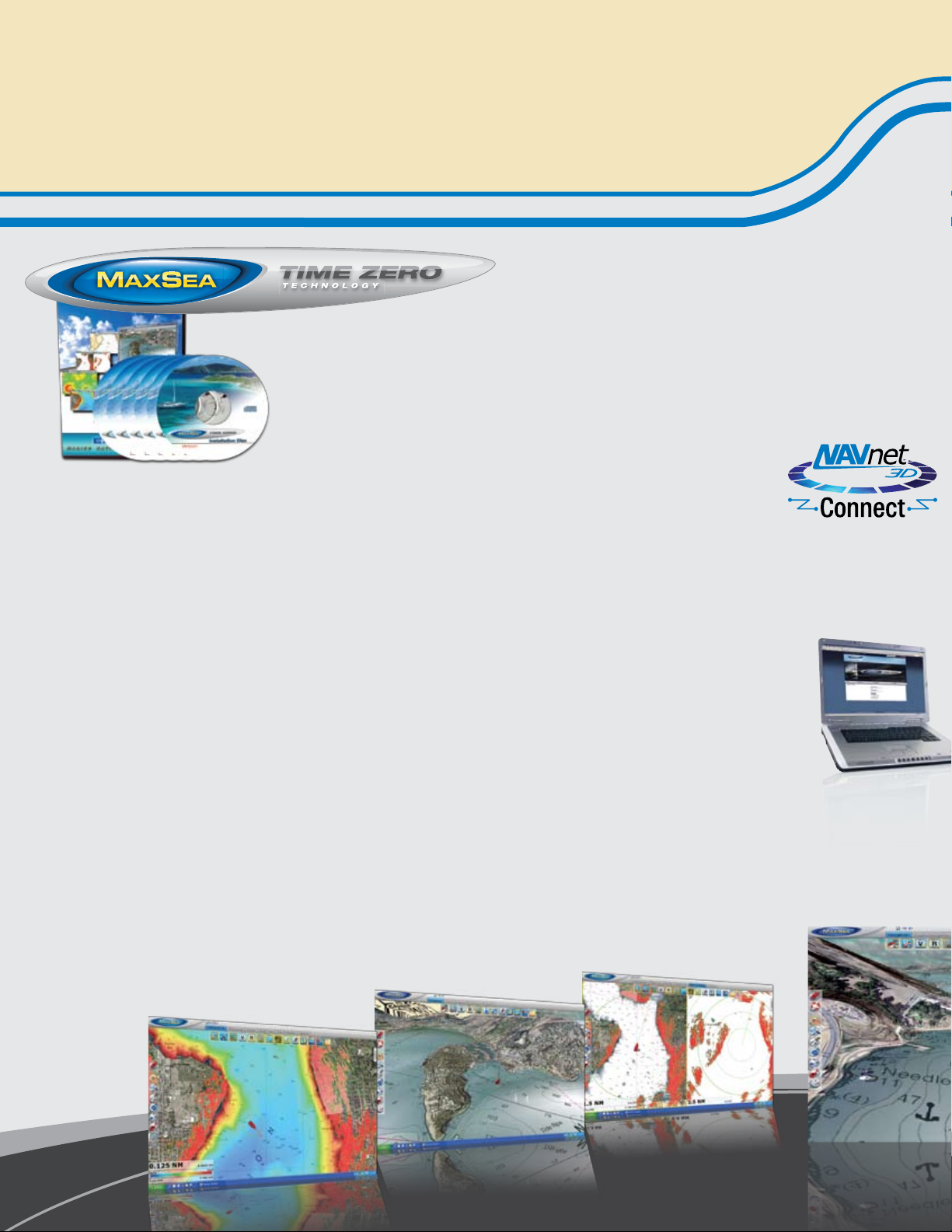
MaxSea TimeZero Marine Navigation Software
MaxSea TimeZero™ advances PC Chart Plotting to the next level, allowing you to navigate
in ways never before possible. An all-new graphics engine, updated tool sets and included
raster and vector charts for the entire U.S. coastline make MaxSea Time Zero™ the most
powerful PC navigation package you can own.
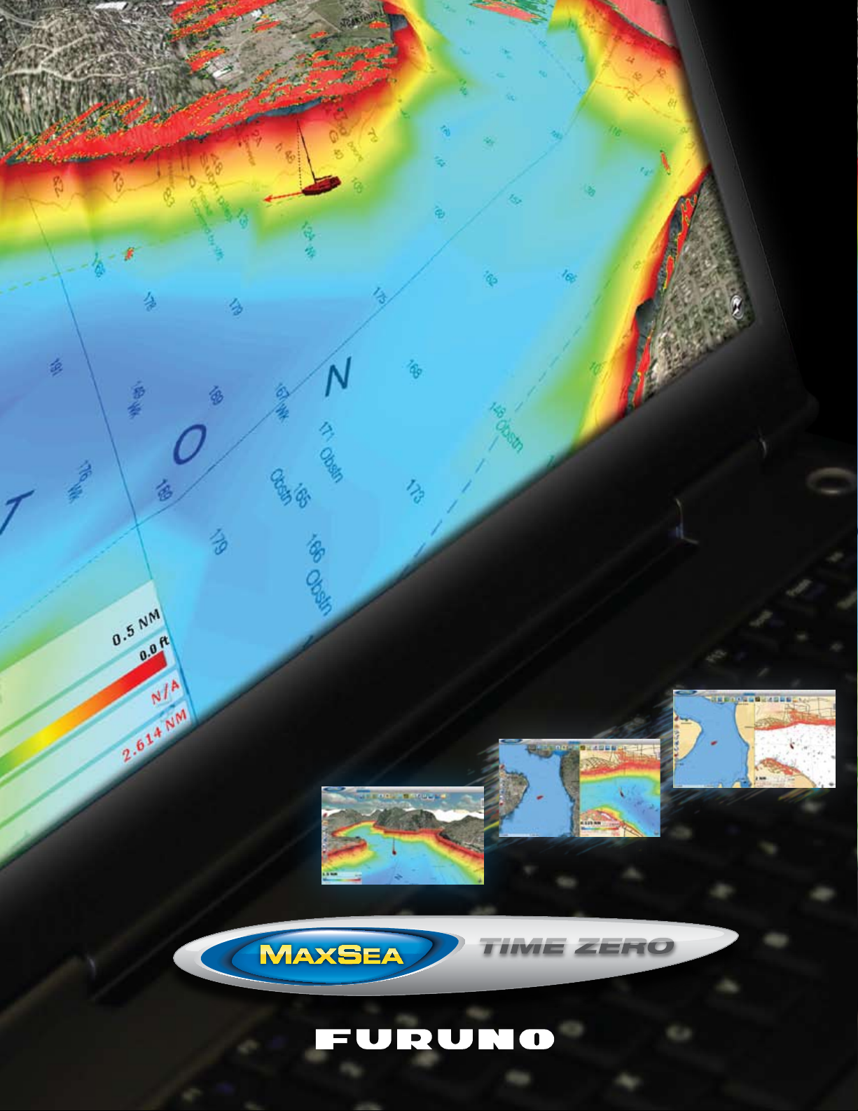
Satellite Photo Fusion
The ability to fuse satellite images with the chart is a feature
unique to MaxSea TimeZero. You have the ability to fuse the satellite photo directly onto your chart. Land areas (zero depth) are
completely opaque, showing only high-resolution satellite photography. As the depth increases, the satellite photography becomes
more transparent so you can see the chart layer underneath. You
will know exactly where the shallows end and the deep water
begins!
NavNet 3D Connectivity
TimeZero Technology
Thanks to TimeZero technology, your software runs and reacts
instantaneously. MaxSea TimeZero operates in a fully rendered 3D
environment, delivering unparalleled speed and a seamless chart
plotting experience. What you see on the screen is realistically
representative of what you are experiencing on the bridge of your
vessel.
Full-time 3D environment
You can switch from the traditional 2D view to the impressive
3D perspective at the click of a mouse. Equipped with powerful
TimeZero technology, the new 3D engine will completely transform
the way you navigate. Scroll, pan, zoom in and zoom out with a
smooth, fast and seamless graphics engine. Navigating in a fully 3D
environment offers you a true perspective and wider area of view
around the ship, which will allow you to better plan your routes,
while TimeZero technology updates the information on your screen
with virtually no redraw.
Ergonomics and performance
MaxSea TimeZero offers a completely new, innovative user interface which has been designed to be extremely intuitive and easy
to use. Thanks to innovative “Work Spaces,” the user interface
automatically adapts to your present navigation needs. No more
complicated dropdown menus to navigate! You only display the
tools you need. MaxSea “Work Spaces” combine functionality with
ease of use, providing for a practical and personalized navigating
experience.
MaxSea TimeZero Explorer can connect to
your NavNet 3D network right out of the box!
You will have full control of your NavNet 3D
Radar/Chart Plotter system directly from your PC. MaxSea TimeZero Explorer integrates seamlessly with NavNet 3D via Ethernet connection. Now you can access and control valuable
information from your NavNet 3D network, such as Radar Overlay,
Waypoints, Routes and more directly on your PC.
Online Support
MaxSea has created an online site specifically
for users of MaxSea TimeZero™. Just visit us at
www.MaxSea.com. Once you register your software, you will gain access to a variety of service
and support areas, all free-of-charge. Personalized
weather downloads, chart and software updates
as well as practical tips, training and technical
support are all available to you on-demand, 24
hours a day.
 Loading...