

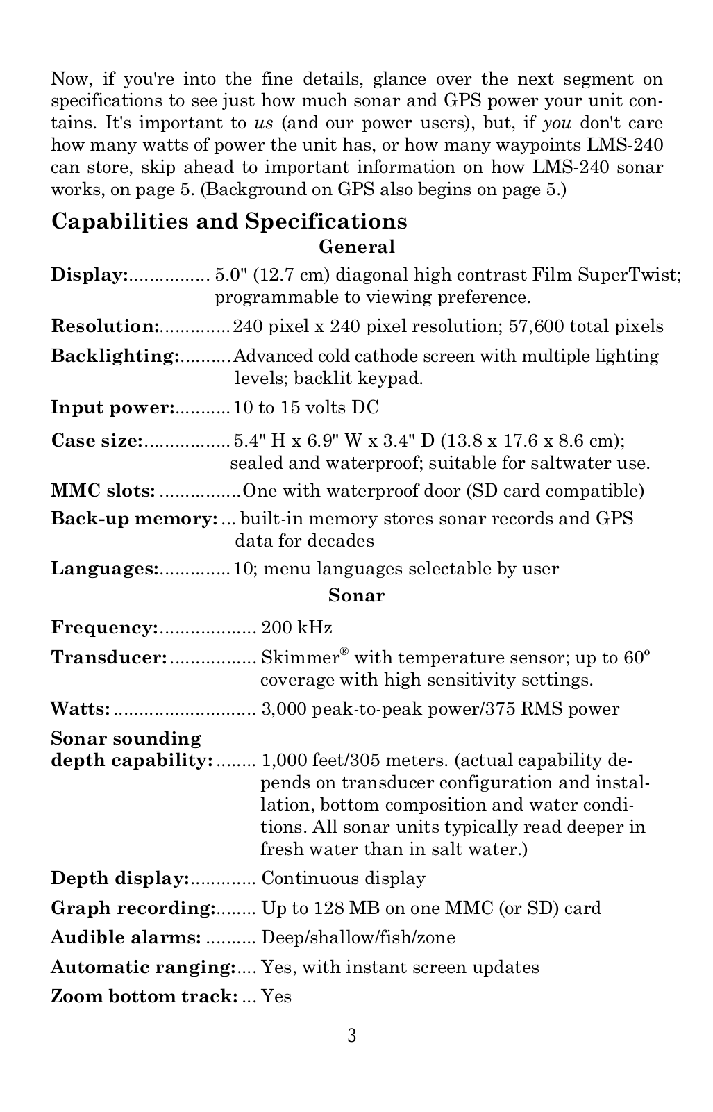
Specifications and Main Features
- General
- Display: Features 5.0’’ (12.7cm) diagonal composite Twain SuperTwist which is enhanced to suit viewing needs.
- Resolution: 240 pixels in width and 240 pixels in length having a total pixel of 57600.
- Backlighting: Indicates mounted cold cathode light with different levels of brightening and backlit keyboard.
- Input power: The total direct current cover between 10 and 15 volts.
- Dimensions: 5.4 inches high, 6.9 inches wide, and 3.4 inches long or 18.8 x 17.6 x 8.6 cm case sealed and water resistant which is recommended for salt water use.
- Expanded Memory Card Door: One with water proof latch (support for secure digital memory cards).
- Back-up: It has some internal spare which can last sonar logs and GPS information for some decades.
- Languages: Supports ten; user can choose among the menu languages.
- Sonar
- Range: Operating range of around 200 Kilohertz.
- Transducer: Type Skimmer® which also can have a temperature competent with sensitivity settings as wide as 60 ° range.
- Watts: Peaking at 3000 power/375 rms operational watts.
- TDMS meter reading range: 1000 ft or 305 meters of a sonar which is also transducer dependent configuration and installation, bottom type, and conditions meter reading.
- Depth Indicator: Shows depth continuously.
- Graph: Graph recording of over 128mb in space of expansion memory card which also uses mmc or sd card.
- Alarms: Deep/ shallow/ fish/ zone alarms.
- Instant Direction Change and Depth Ranging: It has instant change to the next graphical size reading 9yes technofeature which also alters the screen instantaneously.
- Bottom Zoom: Allows zooming in on the bottom image and track line, if correct parameters are set true.
- Surface water temp: Yea.
- Speed/distance log: Optional (with an additional speed sensor).
- GPS
- Receiver/antenna: External; LGC-12w 12 parallel channel GPS/WAAS; DGPS beacon receiver optional.
- Recording: Provides for the use of MMC memory cards for the recording of trip’s GPS details and chart or map displays.
- Background map: Built-in custom lowrance detail map.
- Custom mapping: MapCreate™ 6 software optional; Navionics® charts optional.
- Mapping memory: And another 128 Mb on one MMC (or SD) card.
- Position updates: Once per second.
- Position points: 1,000 waypoints and 1,000 event marker icons.
- Audible alarms: Arrival/off course/anchor.
- Graphic symbols for waypoints or event marker icons: forty two.
- Routes: One hundred.
- Plot Trails: Ten savable trails containing up to nin thousand 999 points each.
- Zoom range: 37 in ranges of 0.05 to 4,000 miles 0. who says devices can’t do zooming.
- Key features: Full screen and split screen map view supporting zoom map within a split screen; IBM-compatible PC with mouse; searchable highway exits and Points of Interest database, trail backtracking, Man Over Board (MOB) feature, full one year warranty.
Frequently Asked Questions
- Q: What is the maximum depth that LMS-240 can sonar detect?
- A: The depth of sonar detection by the LMS-240 is a maximum of 1000 ft/305m, but this is dependent on the transducer used and location.
- Q: Is the LMS-240 able to have FPGA mapping?
- A: It provides ability to create custom mapping in conjunction with the MapCreate™ 6 program and Navionics® charts.
- Q: Are there any limitations in using LMS-240 transducer with saltwater?
- A: The transducer is suitable for saltwater as it is fully rated water sealed and waterproof.
- Q: How many waypoints will the LMS-240 May store?
- A: It is up to one thousand waypoints that can be programmed into LMS-240 unit.
- Q: Which transducer you will get with the LMS-240?
- A: The LMS-240 comes with Skimmer® transducer that has built in temperate sensor.
- Q: Is the display of the LMS-240 customizable?
- A: Yes, the display can be programmed according to the user’s needs.
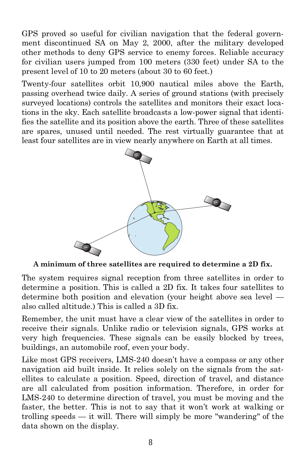
- Q: How does it find its position?
- A: It computes its position in relation to terrestrial and artificial satellites and provides navigational data.
- Q: How much power do you have for the LMS-240?
- A: The LMS-240 operates on 10 to 15 volts direct current input.
User Manual
Page 1

Page 2
Page 3
Page 4
Page 5
Page 6
Page 7
Page 8
Page 9
Page 10
Page 11
Page 12

Page 13
Page 14
Page 15
Page 16
Page 17
Page 18
Page 19
Page 20
Page 21
Page 22
Page 23
Page 24
Page 25
Page 26
Page 27
Page 28
Page 29
Page 30
Page 31

Page 32

Page 33

Page 34

Page 35

Page 36

Page 37

Page 38

Page 39

Page 40

Page 41

Page 42

Page 43

Page 44

Page 45

Page 46

Page 47

Page 48

Page 49

Page 50

Page 51

Page 52

Page 53

Page 54

Page 55

Page 56

Page 57

Page 58

Page 59

Page 60

Page 61

Page 62

Page 63

Page 64

Page 65

Page 66

Page 67

Page 68

Page 69

Page 70

Page 71

Page 72

Page 73

Page 74

Page 75

Page 76

Page 77

Page 78

Page 79

Page 80

Page 81

Page 82

Page 83

Page 84

Page 85

Page 86

Page 87

Page 88

Page 89

Page 90

Page 91

Page 92

Page 93

Page 94

Page 95

Page 96

Page 97

Page 98

Page 99

Page 100

 Loading...