

Page 1
April 2008
Version 2.1
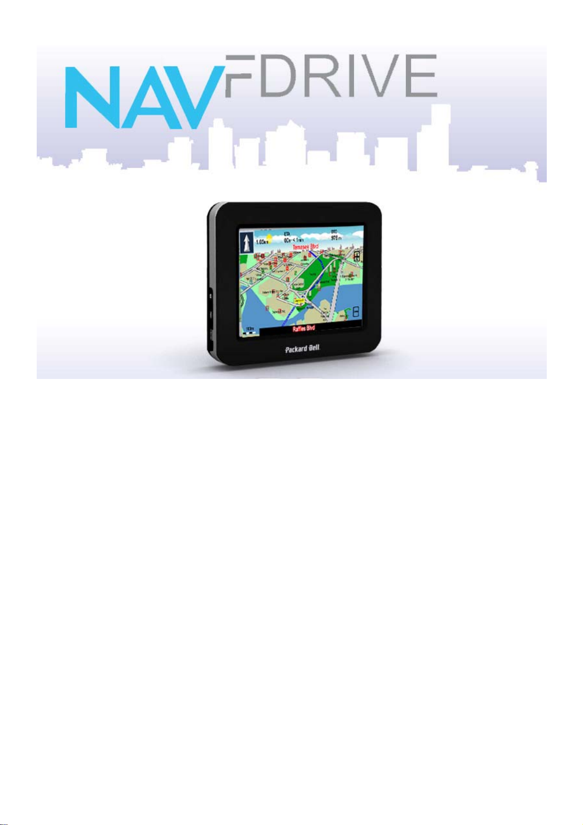
Quick Start Guide
For Packard Bell COMPASSEO 370, 470 and 770
Page 2
FDRIVE
NAV
FDRIVE
NAV
Positioning System) satellites to pinpoint your location using the latest mapping data
technology to get you to your destination in the most efficient and timely manner and assists
you in planning your route by providing Turn-by-Turn signals, accompanied by Audio and
Visual instructions.
WHAT IS FEATURED IN NAV
• 3-dimension navigational mode option
• Easy to use, improved user interface
• Quick access menu in navigation mode
STARTING THE NAV
(Please refer to appendix A for the license agreement)
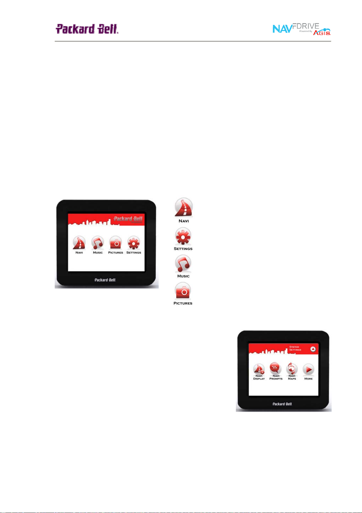
Upon switching on your Compasseo 470, a Welcome menu will display, allowing you to
select the key applications and functions.
FOR THE COMPASSEO 470
is a full-featured mobile satellite navigation system. It utilizes GPS (Global
FDRIVE
?
FDRIVE
Access main NAV
Access NAV
FDRIVE
FDRIVE
Settings Menu
application
Access Compasseo Music player
Access Compasseo Picture viewer
CONFIGURING YOUR SYSTEM
To customise your settings, press the ‘SETTINGS’ button
in the Welcome screen.
The Settings menu presents you with a number of settings
you can choose to customise or view. These include:
• Navi Display
• Navi Prompts
• Navi Maps
• Support Information
• Reset device to defaults
Please refer to the User Manual for details on each setting options.
1
Page 3

ACCESSING NAV
To access the NAV
NAVI button in the Welcome screen.
The NAV
few ways to start your navigation.
Planning Your Navigation Route
Press the Planner button to immediately start planning y
route. You may choose to enter your From (Start) Point
To (Destination) Point by doing an address search or
selecting from a favourites list. A Start Point can also be
entered using the current GPS position.
Using an Address Search
If you choose to enter a point using an address search,
press the Search button.
Enter a keyword using the keyboard. You can search
alphabetically or numerically. To search numerically, press
the 123 button to switch to Numeric mode.
You may also choose to search specific layers, states and
districts.
Tap on the Layer box (left grey box), to select the desired
Layer you want to search.
Similarly, tap on the States-Districts box (right grey box) to
select the desired state and then the districts (if any).
Upon entering your keyword, press the Enter button and
your search results will be displayed.
From the results screen, select a point and set it as your
Start / End point.
FDRIVE
FDRIVE
FDRIVE
application, press the
Navigation Menu will open, allowing you a
our
and
2
Page 4

Setting Your Preferred Route
From your Planner screen, you can select to route via the Highway or Avoid Highway. Tap
on the ‘Highway/Avoid Highway’ button to toggle between the two options.
Starting Your Navigation
To proceed with your Navigation, tap on the Route button in your Planner screen. This will
confirm your route plan and launch the Navigation Map, automatically starting your
navigation. You will be guided with turn-by-turn signals as well as audio and visual
instructions. Have a safe journey!
USING YOUR NAVIGATION MAP (NAVI-MAP)
Pop-Up Menu
The Navigation Map includes a pop-up menu includes the
most commonly used tools as well as settings that you
may want to change on-the-go.
To open the pop-up menu, tap anywhere on the
Navigation Map.
To close the pop-up menu, tap on any ‘empty’ space.
Tap on the following buttons to carry out the respective
actions.
CHECKING OUT YOUR GPS STATUS
In any case that you wish to check if your device is
connected to the GPS, tap on NAVI > More > GPS.
The GPS Status display would show GPS signal strength
and your GPS location.
3
Page 5

KNOWING YOUR NAVIGATION MAP
Distance to
Next Turn
ETA
Turn Signal
Next Turn
Road
North Compass
Zoom Scale
Distance to
Destination
GPS Signal
Zoom Button
Current Road
Turn Signal
Distance to Next Turn
ETA
Distance to Destination
GPS Signal
Zoom Button
Route Line
Navigation Arrow
Current Road
Zoom Scale
North Compass
Next Turn Road
Navigation Arrow
Route Line
Shows the next turn that you are to make.
Distance to the next turn that you are going to make.
Estimated time of arrival at the destination.
Estimated distance remaining to destination.
Color indicates if GPS signal is present or absent.
Tap to zoom in or out.
The route that you are going to travel.
Points to the direction of travel.
Name of road you currently traveling on.
Indicates the scale at which the map is displayed.
The North compass pointing towards the north direction.
Name of road at next turn.
4
 Loading...