

Page 1

™
MobileMapper
NETWORK GENERATION
CE
>>
www.thalesgroup.com/navigation
MAP YOUR SUCCESS!
Page 2
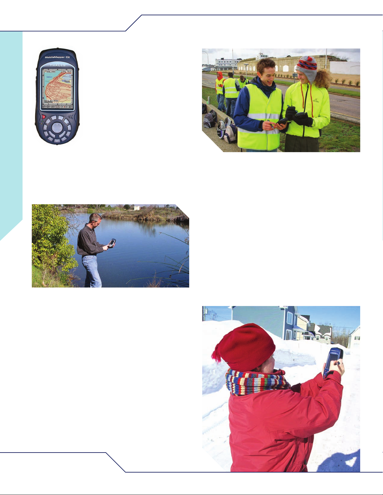
MobileMapper CE
The Ultimate Mobile
apping Platform
M
MobileMapper CE is the most cost
effective handheld GPS for highaccuracy mobile mapping. Easy-to-use,
it features an open platform design with
embedded Microsoft
maximum flexibility, supporting off-theshelf Windows CE software for GIS and
mobile mapping applications.
Rugged and affordable, MobileMapper CE enables you to
double the number of GPS / GIS users and accelerate your
success with superior GPS accuracy and performance.
®
Windows®CE for
High Performance GPS
State-of-the-art, user-friendly features make the
MobileMapper CE the right choice for all your demanding
GIS needs.
Best Price-To-Performance Ratio On
The Market
MobileMapper CE, is the standard for performance and
affordability in handheld GPS / GIS receivers.
It offers an impressive array of high-performance
features, including:
• Real-time sub-meter and sub-foot post-processed
GPS accuracy
• Bluetooth®wireless technology
• Field replaceable all-day battery
• Removable SD card memory
• Easy touch screen and built-in alphanumeric
keypad
Embedded GPS capability provides accurate data
processing and superior data reliability.
The fully integrated 14-channel GPS receiver offers
sub-meter accurate data positioning in real-time. Achieve
sub-foot accuracy in post-processing with the embedded
™
GPSDifferential
Module.
Precisely navigate to a point of interest, create line
functions or calculate area surface with capabilities far
beyond PDAs and other non-GPS devices which simply
cannot perform these operations.
MobileMapper CE GPS technology maintains highprecision in challenging environments with multipath
mitigation, optimized to perform in urban canyons and
dense foliage.
Robust features and free firmware upgrades mean
there’s no need to compromise performance for cost. You
get it all at an affordable price.
www.thalesgroup.com/navigation
Page 3

Maximum Flexibility In The Field
MobileMapper CE is the most flexible GPS / GIS
system available, offering multiple operating modes and
configurations.
MobileMapper CE delivers real-time sub-meter accurate
GPS positioning using SBAS or Beacon corrections. It
offers the added flexibility of NTRIP and Direct IP
network communication for RTCM real-time corrections.
Seamlessly add the power of post processing to virtually
any mobile GIS software application with the
GPSDifferential Module software. Sub-meter and subfoot mapping is easy to achieve, even where real-time
corrections are not available or in difficult environments
such as forestry and urban development.
MobileMapper CE easily adapts to your task and any
mapping conditions, consistently delivering high accuracy
and enhanced performance for all your GIS needs.
Extremely Rugged And Waterproof
The rugged design of MobileMapper CE defeats harsh
environments where consumer-grade pocket computing
devices such as PDAs and other GPS receivers are
easily damaged.
Built to withstand a drop to concrete and remain
waterproof even when immersed, the MobileMapper CE is
perfect for use in public safety, civilian and
federal agencies, utilities, environmental monitoring, natural
resources and a host of other industries where management
and mapping of field assets is critical and otherwise difficult.
Become a
Software
Business Partner
Thales Navigation is actively building Business
Partnerships for software development and is focused on
customers’ need for complete GPS / GIS solutions.
Business Partner Software Libraries provide third-party
developers with complete control over all GPS
functions and allow them to quickly and cost-effectively
integrate post-processing differential corrections into
their own GIS software. Developers can easily expand
their offerings with the power of real-time and postprocessed GPS.
These GPS / GIS applications, integrated into the
MobileMapper CE platform, provide customers with
simple all-in-one GIS solutions, allowing them to focus
on the task at hand rather than device configuration.
Become a Software Business Partner and expand your
business through joint marketing, demand generation and
close collaboration with Thales Navigation.
Business Partner Contacts
In North, Central and South America:
businesspartners@thalesnavigation.com
In Europe, Middle East and Africa:
businesspartnersemea@thalesnavigation.com
In Asia Pacific:
businesspartnersapac@thalesnavigation.com
Page 4

MobileMapper CE
TECHNICAL SPECIFICATIONS
PS Characteristics
G
• 14 parallel channels
• Integrated SBAS (WAAS, EGNOS, MSAS)
• L1 C/A code and carrier
• Update rate: 1 Hz
• Protocol: NMEA 0183 v 3.0
• RTCM SC-104 version 2.3 (9.2 & 1.2)
Accuracy Specifications
Real-Time Performance (RMS)
• Sub-meter accuracy (3ft) with SBAS1,
Beacon, NTRIP, Direct IP or other RTCM
corrections
Post-processing Performance (RMS)
• Sub-foot accuracy (30 cm)
2
Business Partner
Software Libraries
• GPSDifferential Module and MobileMapper
Office for post-processing
• Software Development Kit (SDK) and GPS
Application Programming Interface (API)
3
4
Software
• Microsoft Windows CE .NET 4.2
• ARM920T based processor
• GPS Utilities - provides GPS initialization,
reset, settings and status, mission
planning, port configuration and DGPS
configuration (SBAS, Beacon, NTRIP, Direct
IP, other )
• Bluetooth Manager – full-featured Bluetooth
connectivity configuration utility
• Microsoft WordPad, Internet Explorer®,
Windows Explorer, Terminal, ActiveSync®,
Windows Media Player and Inbox
• Microsoft File Viewers: Excel, Word and
Image Viewers
• EZ Recorder – sound record and
playback program
Physical Characteristics
Size and Weight
• Size: 19.5 cm x 9 cm x 4.6 cm
(7.7 in x 3.5 in x 7.7 in x 1.8 in)
• Weight: 0.48 kg (1.05 lb) with battery
User Interface
• Full color, daylight readable, advanced TFT
liquid crystal display (LCD) with backlight
• 320 x 240 pixels resolution with 262,144
colors
• Resistive touch panel
Alphanumeric keyboard with backlight:
•
18 buttons
• Audio: built-in microphone and speaker
emory
M
• 128 MB SDRAM, 128 NAND Flash memory
• Removable SD Card: up to 1 GB
Interface
• Integrated Bluetooth wireless technology
- Specification 1.2 compliant
- Point-to-point and point-to-multipoint
- Profiles: serial port, OBEX, FTP, dial-up
networking
• Lemo coaxial external antenna connector
• USB: host and slave
• RS232
Environmental Characteristics
• Operating Temp: -10°C to 60°C
(14°F to 140°F)
• Storage Temp: -20°C to 70°C
(-4°F to 158°F)
eather: IEC-529 IPX7 Standard
• W
(withstands water immersion for < 30 min.
at depth of 1 m)
5
• Shock: 1.5 m (4.9 ft) drop to concrete
Power Characteristics
• Battery type: 3.7 V lithium-ion, 3900 mAh
• Battery life: up to 12 hours run-time
with GPS
6
• Removable, rechargeable battery
• External power port for extended
operation time
Language Support
• Microsoft Windows CE operating system
language support such as English, French,
German, Spanish, Portuguese, Dutch,
Swedish, simplified Chinese and Japanese
Accessories
Standard Accessories
Standard
• Clip-on I/O module with external power, USB
• Universal
• Removable, rechargeable lithium-ion
• 128 MB Secure Digital memory card
• USB data cable
• Carrying case
• Hand strap
• Stylus pens (2)
• MobileMapper CE companion CD includes
Accessories
and serial ports
A/C adapter
battery
(expandable)
supported international language fonts and
ActiveSync 3.7.1., Getting Started Guide
ptional Accessories
O
• MobileMapper Beacon – Bluetooth enabled
beacon differential correction receiver
• External antenna
• Power cable with cigarette lighter adapter
• 3.7 V lithium-ion rechargeable battery
• External battery charger
• Stylus pens
• Carrying case
• USB data cable
• Clip-on I/O module with external power,
USB and serial ports
Emissions Certification
• Immunity (EN 55022 Class B)
• Susceptibility (EN 50082-1)
• FCC and CE certified
(1) Accuracy assumes open sky environment,
#SVs > 5 and PDOP < 4
(2) Assuming GPSDifferential Module and GPS precision antenna
a
re used for raw data collection
(
3) For SW Integrators only
(4) When a Business Partner Agreement has been approved
(5) Except for the battery compartment
(6) Depending on the backlight level and use
Thales Navigation
Mobile Mapping Solutions Contact Information
In USA +1 408 615 3970 • Fax +1 408 615 5200
Toll Free (Sales in USA/Canada) 1 800 922 2401
In South America +56 2 273 3214 • Fax +56 2 273 3187
Email mobilemapping@thalesnavigation.com
Web site www.thalesgroup.com/navigation
Thales follows a policy of continuous product improvement; specifications and descriptions are thus subject to change without notice.
Please contact Thales for the latest product information.
©2006 Thales Navigation, Inc. All rights r
espective holders. P/N 830657
their r
eserved. MobileMapper is a trademark of Thales Navigation, Inc.
oduct and brand names ar
All other pr
e trademarks of
Page 5

MobileMapper Beacon
MobileMapper™Beacon compliments the Thales mobile mapping family
of products by improving real-time positioning accuracy with broadcast
DGPS corrections. This differential receiver with Bluetooth
®
wireless
technology provides access to standard RTCM SC-104 DGPS
corrections broadcast by beacon networks around the world.
Advanced signal processing allows the MobileMapper Beacon to deliver
reliable DGPS data from beacon broadcasts, even in noisy
environments. MobileMapper Beacon works with any GPS receivers
that supports RTCM. Used together with MobileMapper CE,
MobileMapper Beacon may be configured through a simple Windows
®
CE application, which enables automatic or manual tuning of the receiver
and monitoring of operational and performance status. A free
MobileMapper Beacon control utility is also available as a standalone
application for Windows Mobile 2003 or Windows XP/2000 environment.
MobileMapper Beacon is compatible with any GPS receiver that supports
input of RTCM SC-104 DGPS corrections. To use with the MobileMapper
Pro, simply connect the MobileMapper Beacon with the optional serial
cable for a real-time DGPS solution.
Powered by four AA batteries, MobileMapper Beacon is compact and
conveniently fits into a belt-mounted holster for easy, hands-free portability.
MobileMapper Beacon employs an internal H-field antenna to provide
superior signal reception in challenging environments, and integrated
Bluetooth wireless technology to offer users cable-free connectivity
to MobileMapper CE and other devices featuring Bluetooth wireless
technology.
Compact, rugged and affordable, MobileMapper Beacon offers the
most demanding GPS users cable-free convenience and
reliability in the field.
DIFFERENTIAL CORRECTION RECEIVER
WITH BLUETOOTH WIRELESS TECHNOLOGY
www.thalesgroup.com/navigation
Page 6

MOBILEMAPPER BEACON
Receiver Characteristics
• Channels: 2 independent channels
• Frequency input: 283.5 to 325.0 kHz
• Channel spacing: 500 Hz
• Modulation: Minimum shift keying (MSK)
• MSK data rates: 100 and 200 bps
• Dynamic range: 100 dB
• Selectivity: > 60 dB at 400 Hz offset
• Operation modes: manual and automatic
• Internal antenna: H-field
Communication Characteristics
• Data output: RTCM SC-104
• Serial RS232 support
• Port settings: 4800 baud, 8 data bits, 1 stop bit,
no parity
• Bluetooth wireless technology
- Bluetooth specification: 1.1
- Bluetooth power class: 1
- Profile: Standard serial port
Physical Characteristics
• Size: 4.75" W x 4.95" L x 4.95" H
(12.07 cm W x 12.57 cm L x 12.57 cm H)
• Weight: 0.58 kg (1.27 lbs) including 4 AA
alkaline batteries, no pouch
User Interface
• Power Button - On/Off push-button
• LED indication: Power - red, beacon lock green, Bluetooth connection - Blue
• Advanced configuration setup and diagnostics
via DGPS Configuration (MobileMapper CE
software utility)
• Automatic tuning feature
Power Characteristics
• Input Voltage: 4.0 to 6.0 VDC
• Batteries: 4 AA batteries, alkaline or NiMH
• Battery life: 8 hours continuous at 0º C
• Nominal current: 130 mA
• RF Connector: SMA socket
• Antenna Impedance: 50 ohms
Environmental Characteristics
• Environmental Protection: IEC-529 IPX5
• Operating Temperature: -30º C to +70º C
operating, excluding battery effects
• Storage Temperature: -40º C to +80º C,
excluding batteries
• Humidity: 100% condensing, ingress protection
to IPX5
Standard Accessories
• 2 battery clips
• Pouch
• 4 AA batteries
• PC interface cable
• Printed manual
Optional Accessories
• External H-field loop DGPS beacon antenna
3.3 VDC
• External RF cable (SMA to TNC)
• MobileMapper Pro serial cable
TECHNICAL SPECIFICATIONS
Thales follows a policy of continuous product improvement; specifications and descriptions are thus subject to change without notice.
Please contact Thales for the latest product information.
© 2005 Thales Navigation, Inc. All right reserved. MobileMapper is a trademark of Thales Navigation, Inc. All other product and brand names are trademarks or registered trademarks of their respective holders. Rev
(19May05)
P/N 830409B
Thales
Mobile Mapping Solutions Contact Information
In USA 408 615 3970 • Fax +1 408 615 5200
Toll Free (Sales in USA/Canada) 1 800 922 2401
In South America +56 2 273 3214 • Fax +56 2 273 3187
Email mobilemapping@thalesnavigation.com
In Singapore +65 6235 3678 • Fax +65 6235 4869
In China +86 10 6566 9866
•
Fax +86 10 6566 0246
Email mobilemappingapac@thalesnavigation.com
Web site www.thalesgroup.com/navigation
 Loading...