

Autodesk LandXplorer Server, LandXplorer Studio Professional, LandXplorer Xpress Viewer, LandXplorer CityGML Viewer, LandXplorer Publisher Datasheet

Autodesk®
LandXplorer® Products
Model infrastructure change.
Autodesk LandXplorer Studio Professional
Autodesk
®
LandXplorer® Studio Professional
software helps make it easier to create, manage,
and distribute digital city models; infrastructure
models; landscape models; and virtual D
environments. With help from Autodesk
LandXplorer Studio Professional, build more
accurate and visually compelling models and
create presentation-quality video and imagery
to share with stakeholders.
Cities, utilities, property developers, and the
public are all seeking a better way to experience,
understand, and collaborate on infrastructure
projects and urban design. Imagine being able to
experience more real-world project scenarios and
share them with stakeholders before construction.
Whether you need to create models of small- or
large-scale city and infrastructure projects,
Autodesk
®
LandXplorer® products provide you
with visualization tools to help you make better
decisions throughout the design lifecycle.
The Autodesk LandXplorer products help you to:
• More easily realize additional ROI on existing
data and software by leveraging your existing
investments in Autodesk
®
design software and
data. Aggregate dierent levels of geospatial
(GIS), civil engineering (CAD), building (BIM),
and utilities detail in a single model.
• Reduce the cost of the design process by
minimizing the need for costly physical models.
• Enable design stakeholders to explore and
interact with 3D city and infrastructure
models by sharing visualizations and creating
a common environment that helps foster
collaboration.
Leverage existing investments in software and data by
aggregating geospatial, civil engineering, computer-aided
design (CAD), building information modeling (BIM), and
utility network data in a single digital model. Use Autodesk
LandXplorer products to help improve decision making,
lower costs, view and share changes, and avoid the expense
of creating physical models.
Better Planning. Better Design. Better Results.
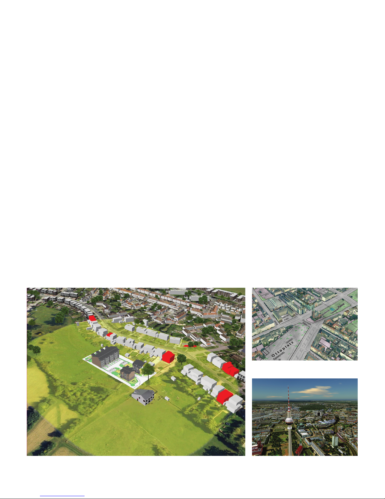
Figure 1: Inco rporate detailed 3D b uilding models along with d ata prepared in AutoCA D® Map3D sof tware into your city
model to bet ter illustrate aecte d residential buildings wit hin 100 meters of a pro posed development .
Figure 2: Create more informative city mo dels by
combining sca nned maps with detailed b uilding models.
Figure 3: Aerial vi ew of a digital city model of Be rlin.
 Loading...